


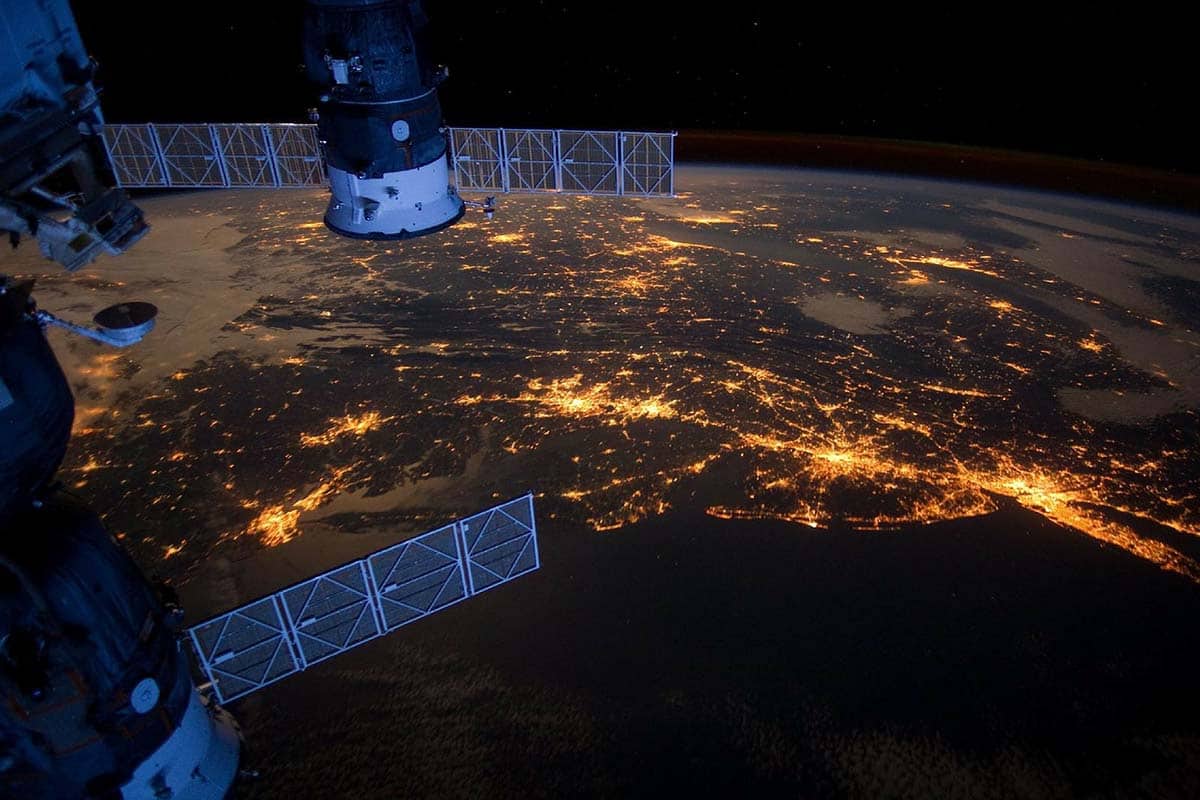
Satellite imagery is primarily a source of clear illustrations that can be used as a powerful tool for monitoring and analyzing different processes. Space images are currently used to detect climate change, forest fires, deforestation, oil spills, slavery cases, and much more. To access satellite images, you can use different free satellite imagery sources. For instance, the Land Viewer tool by EOS Data Analytics offers a variety of satellite images that are available for search and download depending on the area of your interest (first 10 images are free). Besides, the company offers Crop Monitoring platform, catering specifically to farmers needs thanks to satellite imagery on-the-fly analysis.
Among the biggest benefits of space images is the ability to analyze and compare pictures made at different times to detect any changes. But to unlock this information, you need to know how to interpret satellite images and what to pay attention to. In this article, we will guide you through the main points of this process so that you could pull the most information out of the satellite imagery you have.
Identifying Detailing
As soon as you see the image, try to identify the size of the area the image covers and the level of detail it visualizes. For instance, depending on the resolution, the image may show the city either as a little spot on the map or as a detailed area with the streets’ netting.
A helpful tip here is to look for places that you know and can recognize instantly. It could be your house, school, place of work, or a famous landmark. If the image is not that detailed, you can look for natural features, like a mountain or a lake.
Noticing Features
The easiest features to notice on a satellite picture are oceans, rivers, and lakes, which catch the human eye due to unique shapes and the water texture. Notable shapes also include circles and rectangles that appear on the map due to the way people use the land for agricultural purposes. An image will also most definitely contain a straight line that is usually a road, canal, or any type of human-built boundary.
A helpful tip is to look for different textures on the picture created by geologic features. For instance, canyons are usually framed by shadows, and mountains look like bumps or wrinkled material.
Identifying Colors
The spatial imagery can be either true-color or false-color, depending on the kind of light the satellite measures. If it was visible light (green, red, and blue), the picture will be in true colors. This means the colors are the same as if you were looking at Earth from space. If the satellite measures the infrared light, the image will appear in false colors, meaning unnatural colors for different textures and features.
Here is how you will see the common features in a true-color picture:
Cities
Urban areas in true-color space images tend to appear in different shades of grey due to the color of concrete used for buildings construction. But depending on the color of rooftops’ cover, some cities may have a more red or brown colors prevailing on the picture.
Water
Due to its high light absorption ability, water usually appears dark blue or black on satellite pictures. However, if there is a high content of sand or mud, the water will look brown. It can also appear gray, silver, or even white if there was sunlight reflecting off its surface when the picture was taken.
Vegetation
Flora will usually appear in different shades of green on a satellite true-color picture. For instance, lands covered with grass tend to show up in light green, while dense forests are usually of a very dark, almost black green. As for the farmland, it will be depicted in different colors, depending on the vegetation in the particular plant growth stage.
Finding Direction
Finding cardinal directions (North, South, East, West) allows for matching different features on the picture to a map for further orientation. It gives an understanding of where the rivers flow, on what side of the natural landmark the city is located, and more.
Using the tips from this guide, you will be able to interpret satellite imagery for different purposes to retrieve the information you need.


